
Monday, March 26, 2007
Sunday, March 04, 2007
Analysis : The Bagmati’s final sealing

 The middle section of the Bagmati River in Bihar is too unstable for embanking, but the Patna government is attempting to push through an INR 8 billion project to do just that.
- By Dinesh Kumar Mishra
The Bagmati River runs down from the Himalayan midhills surrounding Kathmandu Valley, entering India at the Sitamarhi District of Bihar. In Khagaria District, the river joins up with the Kosi River near Badla Ghat. The Bagmati’s total catchment area of nearly 13,300 sq km is divided roughly evenly between India and Nepal, and its basin is among the world’s most fertile regions, mainly due to the significant amount of silt carried by the river. The slope of the ground through which the river moves flattens out almost entirely once it enters the Gangetic plains, where the river’s heavy silt load causes the Bagmati to meander.
South of the border, hydrologists divide the flow of the Bagmati into three distinct segments, each around 90 km in length. The lower reaches, although prone to overflow, are considered to be relatively stable, and hence were embanked during the mid-1950s in an attempt to solve the flood problems in that area. At that time, the upper and middle segments were left alone, with officials saying that it was unwise to embank the unstable portions of the river.
Yet even while this conclusion was being drawn, one of the most unstable rivers in the country, the much larger Kosi, was being embanked just to the east – a decision that drew wide acclaim from the local communities. To the west of the Bagmati, an ambitious irrigation project on the Gandak River was launched at the initiative of India’s first president, Rajendra Prasad. Sandwiched between these massive projects, community leaders in the Bagmati basin had little to boast about. Thus they came under compulsion to demand an embankment project of their own. Local farmers were opposed to any such move, warning that their productivity would suffer if their lands were deprived of the yearly addition of fertile silt that came along with the floods. They also noted that the inconvenience posed by the monsoonal floods was relatively modest, with the inundations never lasting for longer than two or three days at a stretch.
Such protests fell on deaf ears, amidst politicians and bureaucrats who knew only the logic of man-made ‘training’ of rivers. By 1965, official efforts had begun to tame the Bagmati in its upper stretches, including a proposal to build embankments at an estimated cost of INR 31.7 million. Over the next two decades this estimate was revised upwards several times, ultimately to around INR 604.8 million by 1981. Despite local resistance, roughly 85 km of embankments were constructed during the 1975-77 State of Emergency under Indira Gandhi, from Dheng (near the Indo-Nepali border) to Runni Saidpur.
Even after this work was completed on a third of the Bagmati’s flow in Bihar, the middle 90 km of the river, between Runni Saidpur and Hayaghat, was still rated as too unstable for any similar construction. As a result, that middle reach – which passes through the localities of Aurai, Katra and Gai Ghat – continues to take a large, yearly toll on life and property. During the monsoon, floodwater that flows out onto the surrounding land through breaches in the embankments in the upper reaches tries to re-enter the river in its un-embanked middle stretch, even as the water in that middle section attempts to spill into the countryside. This results in chaos, as nobody can determine from which side to expect the floodwater and its accompanying sediments.
That may now be changing. Last November, the Patna government sent a proposal to New Delhi for the embankment of this middle section – at a cost of INR 7.9 billion – along with the strengthening and raising of the existing embankments throughout the river’s course in Bihar. The proposal brought up several urgent issues, each of which needs to be addressed before any embankment work can begin. First, the government and various experts have regularly argued over the past several decades that the middle reach of the Bagmati was too unstable to allow for embanking. Has the river stabilised itself over the past 30 years? Given that such a dynamic is a hydro-geological process that would normally take thousands of years, this is highly unlikely.
Banking on embankmentsFarmers welcome floods because silt contained in floodwaters provides the fields with an annual supplement of nutrients. Embanking rivers causes that silt to be trapped within the embankments, both depriving farmers of its benefits and causing the level of the riverbed to rise. While engineers must then keep raising the embankments in order to keep pace with the rising bed of the river, there is also a limit to which embankments can be raised and maintained. Will embanking the entire length of the river do away with this problem? Will it prevent seepage through the embankments into the surrounding land? These are issues planners in Patna must think about.
There is also the question of whether the reinforced embankments could ultimately prove more effective in preventing rainwater from entering the river, thereby worsening the current waterlogging of the surrounding land. Such conditions already exist in the embanked lower and upper reaches of the Bagmati. Furthermore, in addition to the nutritive aspect, the spreading of silt during floods is a process by which rivers perform the task of land-building. Embankments and other structural measures do nothing to route the silt. If a dam is built to contain floods, its reservoir becomes filled over time. If a ring bund were to be built around a settlement, the deposition of silt subsequently takes place outside of it, exposing the so-called protected area to the dangers of breaching – greater dangers than those posed by floods from an un-embanked river.
When a free-flowing river crests its banks during the rainy season, only the top section of the river, rich in micro-nutrients, spills into the surrounding lands. When breaches exist in embankments built along a river, however, a significantly larger cross-section of the river’s flow is allowed to run out of the man-made bounds. This results in the spreading of coarse sand, often rendering the surrounding area into a veritable desert. As has been seen along other parts of the Bagmati, nobody takes responsibility for such eventualities, or for the subsequent loss of livelihood for local farmers. Can raising and strengthening the embankments reverse these conditions? Can officials give assurances that the new and reinforced embankments will not breach?
The Water Resources Department in Patna has thus far maintained that the ultimate solution for the basin’s flooding problem is in the construction of a dam at Nunthar in Nepal, and has long postponed intervention in that hope. An expert-committee report by the Patna government in May 2006 not only found almost no likelihood of a dam being built at Nunthar in the near future, but more importantly that such a dam would not be able to hold back flooding. Finally, with the much-hyped river-linking proposals floated during the time of the Bharatiya Janata Party government in New Delhi, focusing on irrigation rather than on flood control, a new approach is clearly needed for the communities of the middle reaches of the Bagmati basin.
No assuranceAs things currently stand, it is unclear even whether the government would compensate those farmers whose lands will become waterlogged or sand-filled due to the new embankments. While the proposed infrastructure would inevitably displace many families, the Water Resources Department has not disclosed any rehabilitation plan. This mirrors the situation when the government began embanking the Bagmati in the 1950s, when no provision was made for any rehabilitation or compensation of displaced families.
The government’s policies did improve somewhat during the second phase of embankment, along the upper reaches of the river. But although farmers were given some compensation, much of the compensation amount had already been spent in getting the claims in the first place. Furthermore, while those who had been displaced were given tracts of land, the plot boundaries were often not marked, as a result of which much of these lands fell into the hands of local toughs. No grant was given for the construction of new houses, nor was any land allotted to those whose agricultural plots were trapped within the embankments. Indeed, many of the displaced families are today still living on the embankments, risking eviction at any time. No assurance has been given that such oversights will not be repeated this time around.
According to a notification by the Ministry of Environment and Forests in September 2006, any project that is likely to adversely affect the environment must receive the ministry’s clearance before construction can begin. This notification also ensures that people likely to be affected by the project are given information about possible impacts beforehand, and that their concerns and suggestions are recorded in public hearings. No such move has yet begun in the middle reaches of the Bagmati.
The amount being proposed for the final Bagmati embanking – nearly eight billion rupees – is an enormous sum, and cannot be wasted on a project with uncertain, and even potentially harmful, results. The last government in Patna, led by the Rashtriya Janata Dal (RJD), did not take up any work on flood control along the Bagmati beyond irregular maintenance. The current proposal thus points to a major shift in official policy towards the state’s rivers. This may be because the new government wants to be seen as doing something for the benefit of people affected by monsoonal flooding – which was also why the decision was made to embank the dynamic Kosi River during the late 1950s, going against a century-old debate that favoured leaving that river alone. At that time, the government had wanted to prove that it could make its own decisions and create infrastructure denied them by the British. But why does the Patna government want to do something as ill-advised in 2007? Before any action is taken, this policy shift needs to be clearly ascertained as being for the common good of Bihar’s people.
Embankments are political and technological quick-fixes, which have disastrous societal and environmental consequences. Due to the silt-laden nature of Himalayan rivers, they also create enormous problems for future generations, who will have to take up the challenge of dismantling embankments. A sizable population in the upper reaches of the river is opposed to embankments there, and advocates systematic demolition of the same and leaving the river to its own devices. Those sentiments are shared by many living in the middle portion as well, who are organising themselves to resist the proposed new construction. Given the presence of embankments in the upper and lower Bagmati, it is true that the community along the middle stretch between Runni Saidpur and Hayaghat is in double jeopardy – the regular floods and the problems emanating from the upstream embankments. And yet, the answer does not lie in embanking this portion as well.
Saturday, March 03, 2007


Monday, August 14, 2006


Sunday, August 13, 2006


Friday, July 14, 2006
My Village Korlahia
"Korlahia is a village situated in the State of Bihar India, at 20 km from the nearest township Muzaffarpur on NH 77, being the first village of Sitamarhi district, an abode of Videha, King Janaka and the birth place of Goddess Sita.
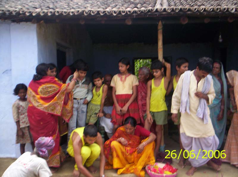
It has a small population of about 1000 inhabitants knit into a traditional self-sustaining society. It is said that a widow and two of her brothers ventured to rehabilitate this village. The history of Korlahia is full of selflessness and sacrifice which may be placed on the website when complete.
Presently, Korlahia has a 500 line capacity Bharat Sanchar Nigam Limited (BSNL) telephone exchange opened on April 14, 1999 and a mobile station which is identified from distance by presence of the transmission tower.
It has a middle school and a small market. The East Central Railway has a plan to open a Railway station on Muzaffarpur-Sitamarhi section by the year 2008.
The population consists of farmers, teachers, doctors, nurse, milkmen, cooks, traders and a large number of officers and men of Armed forces serving/retired as well as Indian Air Force pilots and other professionals.
The farming community has Litchi and Mangoes orchards of about 2500 trees which is likely to touch the figure of 3000 by the year 2010. Some farmers have taken to Banana plantation too.
Korlahia has an organized Milk Collection Centre supplying about 500 litres of milk per day to SUDHA Milk Co-operative and sweet shops of Muzaffarpur.
On June 28, 2006 a Village Knowledge Centre (VKC) was opened by with private initiative, connecting a computer on internet, a dream of His Excellency Dr. APJ Abulkalam, the President of India under the scheme of PURA (provision of Urban Amenities in Rural Areas) and accomplishment of Mission 2007 of Dr. M.S. Swaminathan.
A Health Centre is likely to be inaugurated shortly with the help of native doctors.
Images of Korlahia
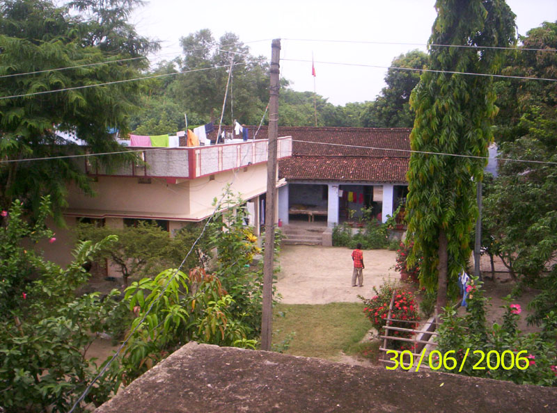
The House of Shri Saket Bihari Singh & his brothers

Gyan Kendra being raised

Young mango tree
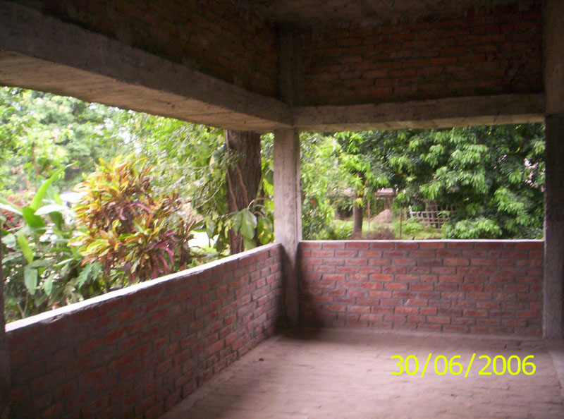
Inside the 'Gyan Kendra'

Exterior of the 'Gyan Kendra'
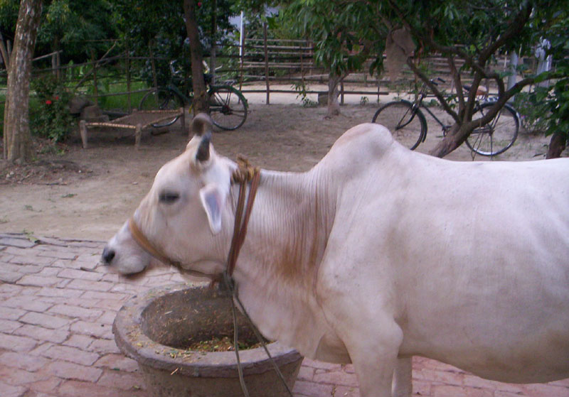
The 'Nandini' of Shri Saket Bihari Singh
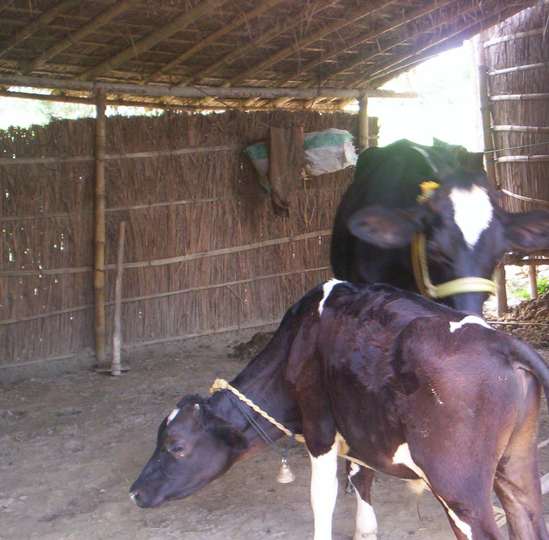
The associates of 'Nandini'
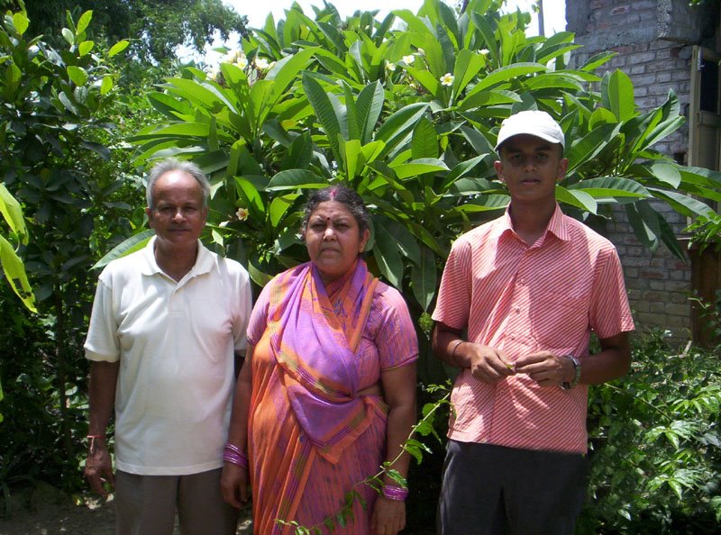
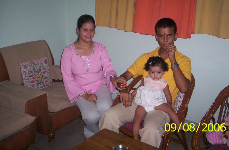
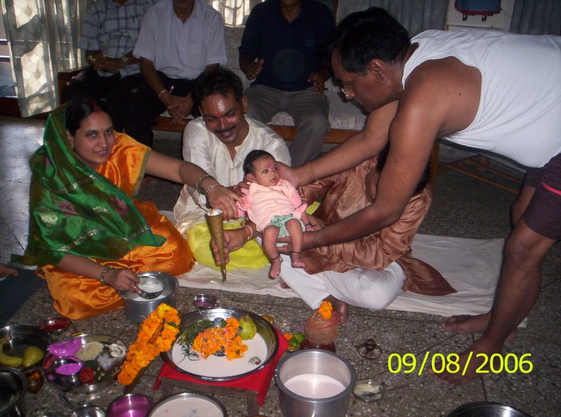
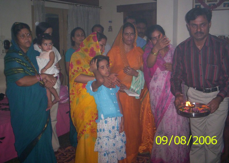
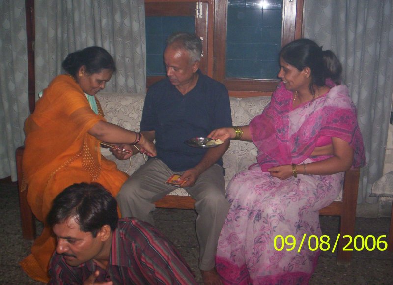
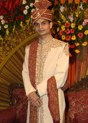
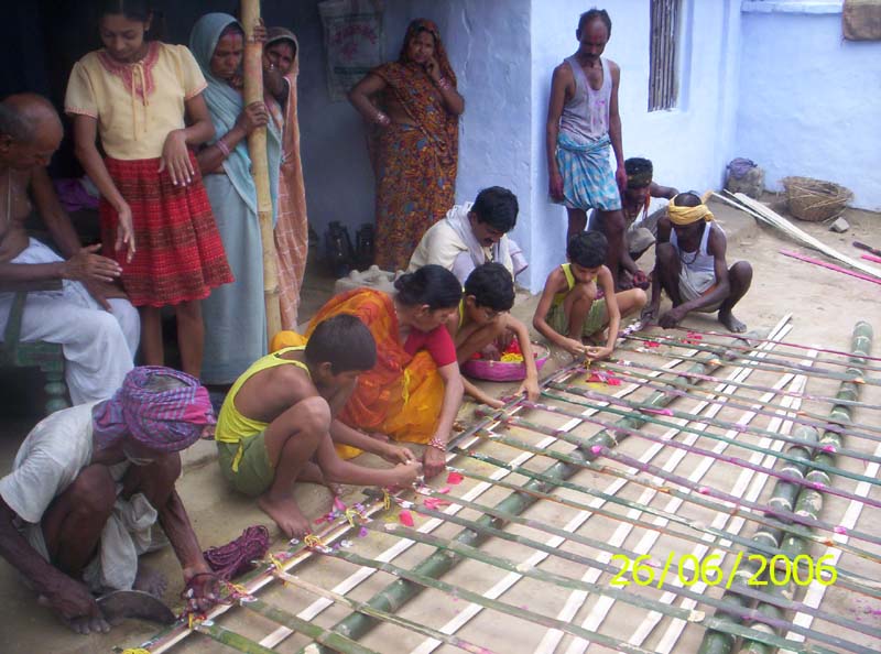
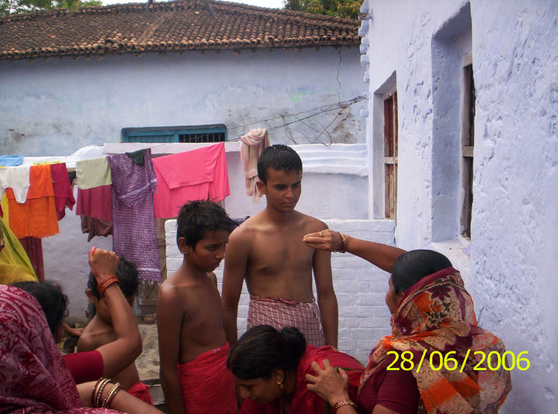
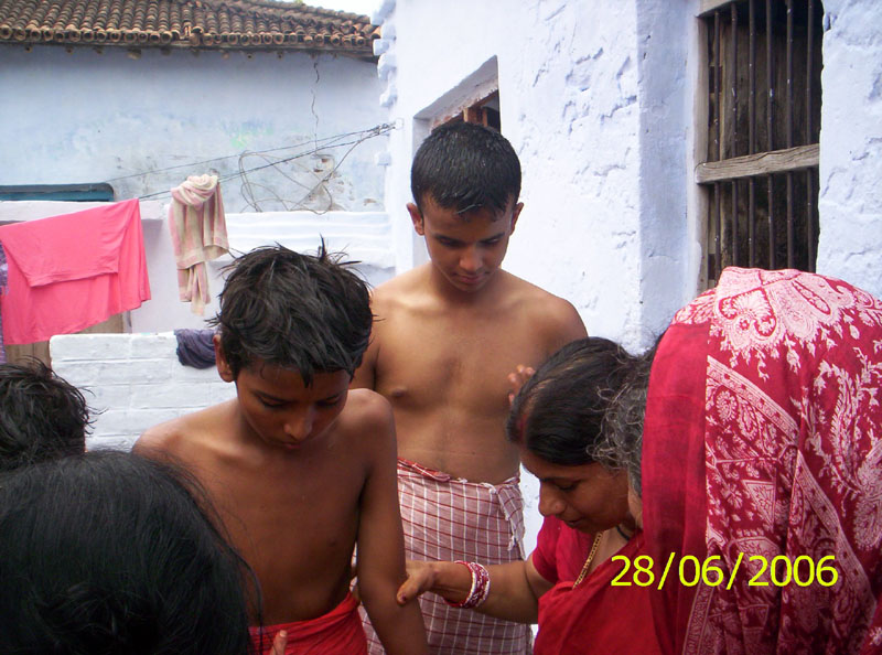
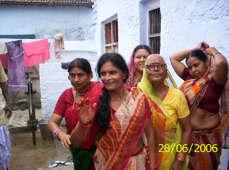
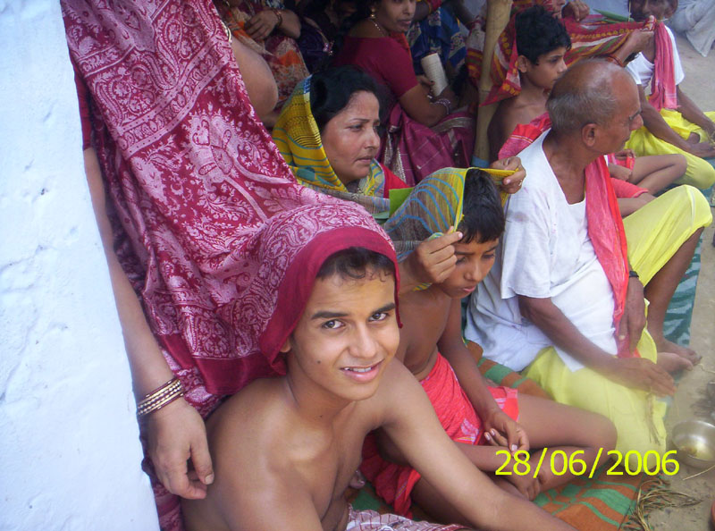
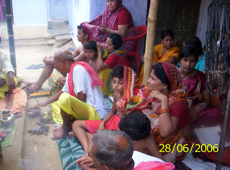
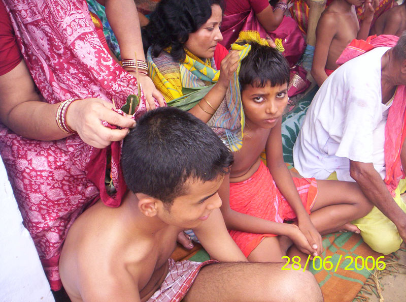
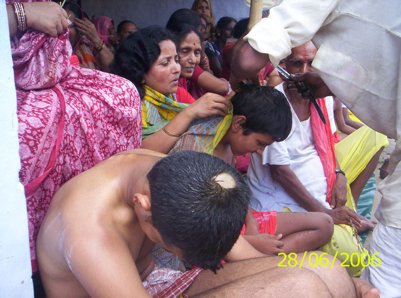
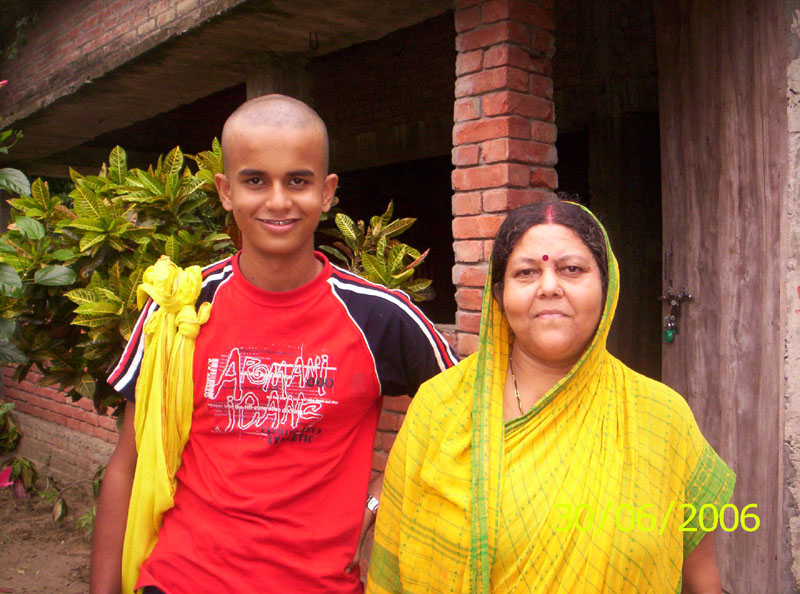
Shashwat with parents after Upnayan

Brothers Shri Saket Bihari Singh & Shri Rajesh Kumar
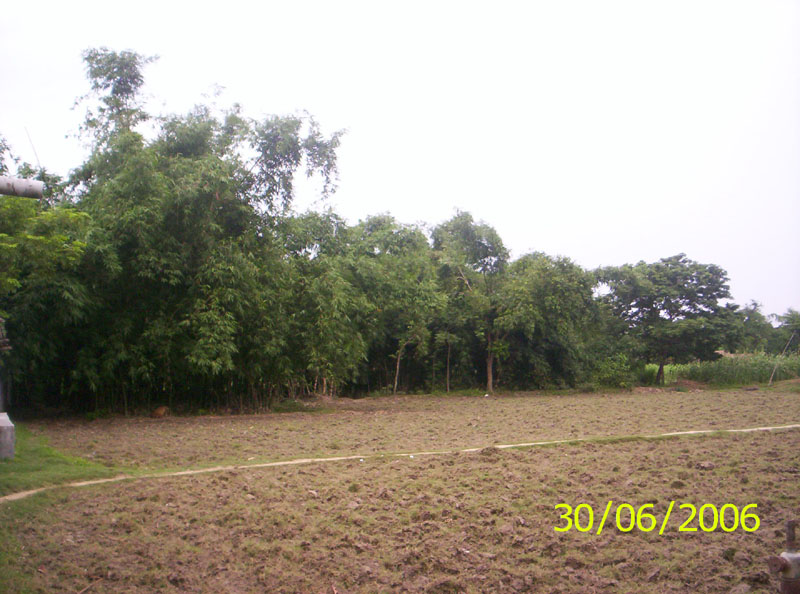
A view at the backyard of Late Shri Badri Babu
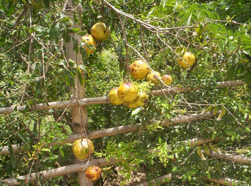
Raju's Pomgranates

Raju's greenary
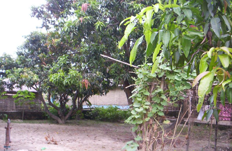
The grove near 'Gyan Kendra'
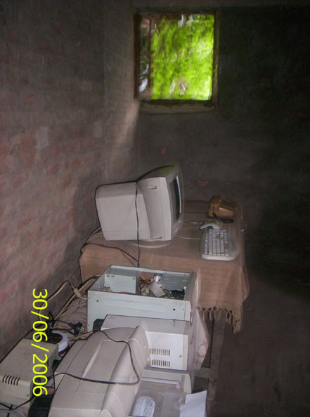
Computer inside the 'Gyan Kendra'
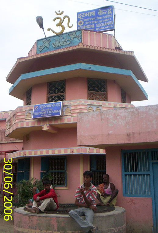
The exchange dome
Thursday, July 13, 2006
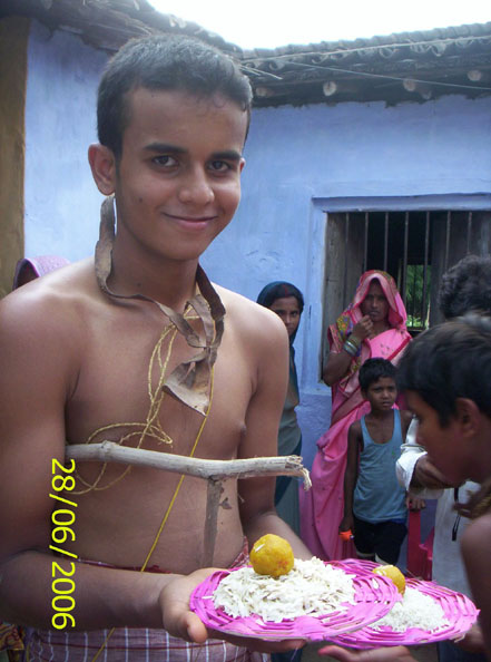
Yajnopavita: Hindu Symbols - Significance Of The Sacred Thread Yajnopavita
Significance of the Sacred Thread
Yajnopavita or the sacred thread is worn by the Brahmins, Kshatriyas and the Vaisyas. Wearing the sacred thread is a very holy and sacred ceremony amongst the Hindus. Brahmin boys between the ages of five and eight are invested with the sacred thread on a very auspicious day. By this ceremony, they become fit for the repetition of Gayatri. A Brahmin becomes a true Brahmin only after this ceremony.
It is said: - Janmana Jayate Sudrah Karmana Jayate Dvijah - By birth one is a Sudra; by Karma (i.e., the investiture with the sacred thread) he becomes a Dvija or Brahmin. - Upanayana or thread ceremony is the second birth; hence, the Brahmins are called Dvijas (Dvija means born twice).
The sacred thread or Yajnopavita consists of three threads. It denotes that one should be a Brahmachari in thought, word and deed. Each thread represents a Veda, viz., the Rik, Yajus and Sama. It represents also Brahma, Vishnu and Siva. The knot in the middle represents the formless Brahman, the Supreme Principle. The three threads represent also Sattva, Rajas and Tamas of the Trigunatmika Maya, and the knot represents the Isvara who controls Maya. Those who worship God at the three Sandhyas and repeat the Gayatri holding the Brahma knot of the sacred thread, derive immense strength and power. In days of yore, a Brahmana meditating upon the Gayatri holding the Brahma knot, had the power to bless and curse others. The educated intelligentsia of the present day are quite ignorant of the power of the sacred thread and the performance of Sandhya. That is the reason why they have ignored it. The sacred thread is a great power for the Brahmin who leads a regulated life devoted to the worship of God. Kshatriyas and Vaisyas, too, acquire power, fame and wealth by the power of the sacred thread.
A householder wears, at the time of marriage, an additional sacred thread. A Brahmachari has only one. The additional thread at the time of marriage is intended for the well-being of the partner. The sacred thread should be on the body always. The custom of washing it after removing it from the body or sending it to the washerman, is a wrong procedure. Some people are ashamed to wear the thread when they go to the office and they leave it at home. How ignorant they are!
Yajnopavita, the Choti, caste-mark, etc., are the external symbols to show that one is a Hindu. Purity, self-restraint, non-violence, patience, love for ones fellow-beings - these are the internal marks of a Hindu.


Subscribe to:
Comments (Atom)